India’s Department of Posts has launched DIGIPIN, a precision geo-addressing system that assigns every 4×4 meter grid in the country a unique 10-character code, transforming how we locate homes, businesses, and even remote locations.
India’s Ministry of Communications, through the Department of Posts, officially introduced DIGIPIN on May 27, 2025. Built under the National Geospatial Policy 2022 in collaboration with IIT Hyderabad and ISRO’s National Remote Sensing Centre, this platform enables users to generate codes via the “Know Your DIGIPIN” portal or by entering latitude-longitude coordinates. All codebase and technical documentation are open-source on GitHub.
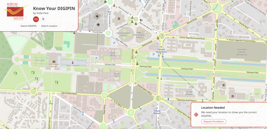
DIGIPIN divides India into 4×4 grids, each represented by an alphanumeric 10-character code derived from geographic coordinates. This ensures extreme precision, is much finer than the traditional six-digit PIN code, and works offline without revealing personal data.
The initiative addresses critical challenges in logistics, emergency response, public service delivery, and navigation, especially in rural, informal, or rapidly changing urban areas. DIGIPIN also serves as the foundation layer of DHRUVA, India’s broader Digital Address Infrastructure, allowing the creation of consent-based custom addresses (like “name@domain”) in the future.
Users can access their DIGIPIN via the official portal (dac.indiapost.gov.in/mydigipin), which requires location consent. The platform is privacy-centric and interoperable, designed for easy integration by ministries, state governments, private sectors, and civic applications.
Why This Is Important:
- Enables pinpoint accuracy for deliveries, emergency services, and navigation.
- Open doors to GIS-enables planning, smart cities, and rescue operations.
- Promotes open-source innovation and national tech capacity-building.
DIGIPIN marks a major leap in India’s digital transformation, ushering in an era of smarter addressing, faster response, and tech-driven governance.